The weather is finally getting warmer, the snow is melting, and most importantly, provincial parks have re-opened! May and June are beautiful months to get outside and enjoy nature – but in the mountains, it’s still considered to be “early season” and a lot of destinations are snow covered, especially at higher elevations or further in the interior. But for those of you (like me) who are eager to lace up your boots and get some fresh mountain air ASAP, here are my top suggestions for the best early season hikes and scrambles near Calgary.
Some basic criteria for this list are: good views, at least 5 km round trip, and mostly snow-free by mid-May. There are plenty of lower elevation, shorter, more family friendly hikes outside of this list (like Grassi Lakes, Troll Falls, Grotto Canyon etc.) that are great early season outings, but my focus is on longer (but not too long) outings.
So here are my top 10 picks (in no particular order)! Let me know if you’ve done any of these hikes in the comments, and what some of your favorite early-season hikes are! Do you want more details about any of these hikes? If so, let me know and I’ll write up a more detailed trip report!
- Wasootch Ridge
This is a lovely, but SUPER LONG, ridge in Kananaskis. If you hike to the highest point to the ridge and back, it clocks in at around 15.4 km and 1,450 m of elevation gain! Total trip time is between 6.5 and 8 hours. Park at the Wasootch day use area 17 km south on Highway 40. The hike starts out super steep and is a leg burner, but soon you reach a long, relatively flat ridge that gives you wonderful 360 degree views for miles. It’s mostly follows a well trodden trail, but near the high point some easy hands on scrambling is required.

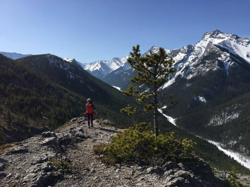
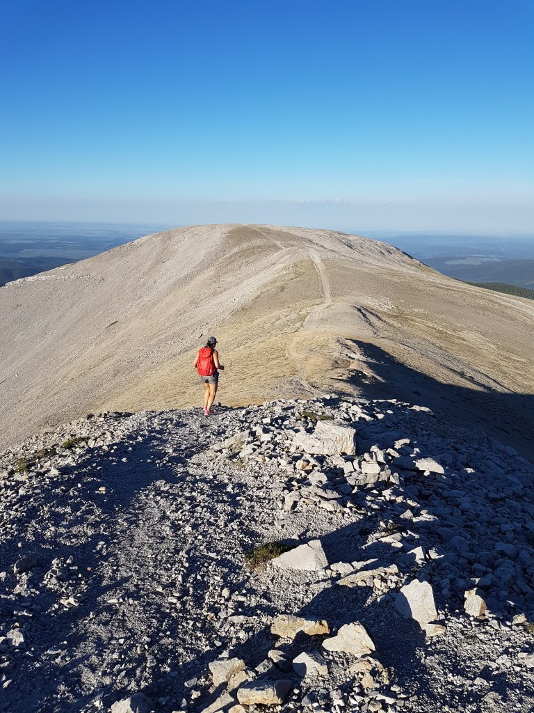
2. Porcupine Ridge
This ridge is adjacent to Wasootch, if you look across the valley you can see Wasootch’s long ridge from here! Porcupine Ridge is kind of like Wasootch Ridge’s little sister, a bit shorter and more variety on the trail. To hike to the official end of the trail and back is 9 km round trip and around 700 m elevation gain, and 5-7 hours. When I did this, I parked on the side of the road 14.5 km south on Highway 40, there is also a small trail to a parking lot beside Porcupine Creek you can park at.
The first part of this hike meanders beside the creek and you’ll perhaps pass by some rock climbers out for the day. After around 1 km, you hit the base of the ridge and start hiking straight up! The ridge itself opens up to lovely views, and there are some sections of fun scrambling. You can keep hiking past the official end of the trail, although it gets significantly more hands-on from there.


3. Ha Ling Peak
What can I say about this hike that hasn’t already been said!? This is a wildly popular hike and for good reason – it’s easily accessible from Calgary and Canmore, offers beautiful view of the Bow Valley, and was recently improved so the trail is well maintained and impossible to get lost on. This is probably most local scrambler’s first “summit”. It’s a 7.9 km out and back trail with 800m of elevation gain. Round trip time is around 3-5 hours. Parking is at the Goat Creek day use area on the Smith-Dorrien Trail above Canmore. Check the Alberta Parks website for status as this trail is often closed for maintenance or wildlife. Actually – you should always check the parks website for trail closures before heading out! You never know when there has been some bear or cougar activity in the mountains!

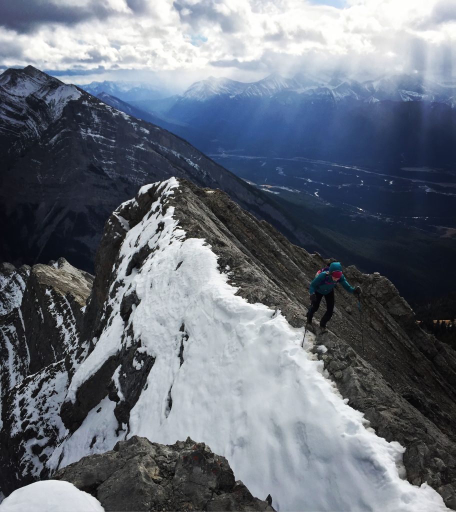
4. Lady MacDonald
Another Canmore classic! This one is a bit longer and higher than Ha Ling at 10.5 km round trip and 1,200 m of elevation gain to get to the true summit. Parking is at the Cougar Creek day use area in Canmore, and the trail-head starts about 500m further on climbers-left of the creek. There is an old helicopter pad above the treeline near the summit at the 4.5 km mark, and many choose to hike just to this point, as above it becomes more of a scramble and can often be snowy earlier in the year. If you choose to continue onward, it’s another ~1 km and 300m of elevation up a long scree slog, followed by an extremely exposed ridge that needs to be snow-free in order to cross safely. Total trip time to the heli-pad and back is between 3-5 hours, and 5-7 hours for the true summit.

5. East End of Rundle (EEOR)
This is the last of the Canmore classics, and completes the “triple crown” along with Lady MacDonald and Ha Ling Peak. This one is short but steep at a mere 5.8 km round trip but 875 m in elevation and 4-5 hours to complete. Parking is near the lot for Ha Ling, at the first parking area past Whitemans Pond dam. Or if it’s busy, parking can be at Goat Creek Day Use Area (same as for Ha Ling) but the trailhead is on the west side of the road near a power pole. This trail requires more route finding than the previous two, and it’s important not to get too far off track as there have been fatal accidents on this summit.

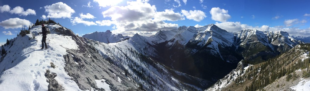
6. Heart Mountain Horseshoe Trail
This distinct mountain is named for the two rounded bumps on top that make it look like a heart! It’s a quick 2.8km and 745m in elevation one way to the summit, at which point you can descend the way you came, or turn this hike into an enjoyable loop which is called the “horseshoe” trail. You can park at the Heart Creek Day use area, and follow the trail to the creek. You cross over the creek, then begin the obvious ascent up the right side of the ridge which is marked with a “scramblers route” sign.
To complete the horseshoe after reaching the summit, follow the trail that goes into the forecast and curves towards Grant MacEwan peak. From there, you follow a trail that meanders through the woods and loops back down to the creek and back to the car. The entire horseshoe loop is 12 km total and 935m in elevation gain and takes 5-7 hours to complete.
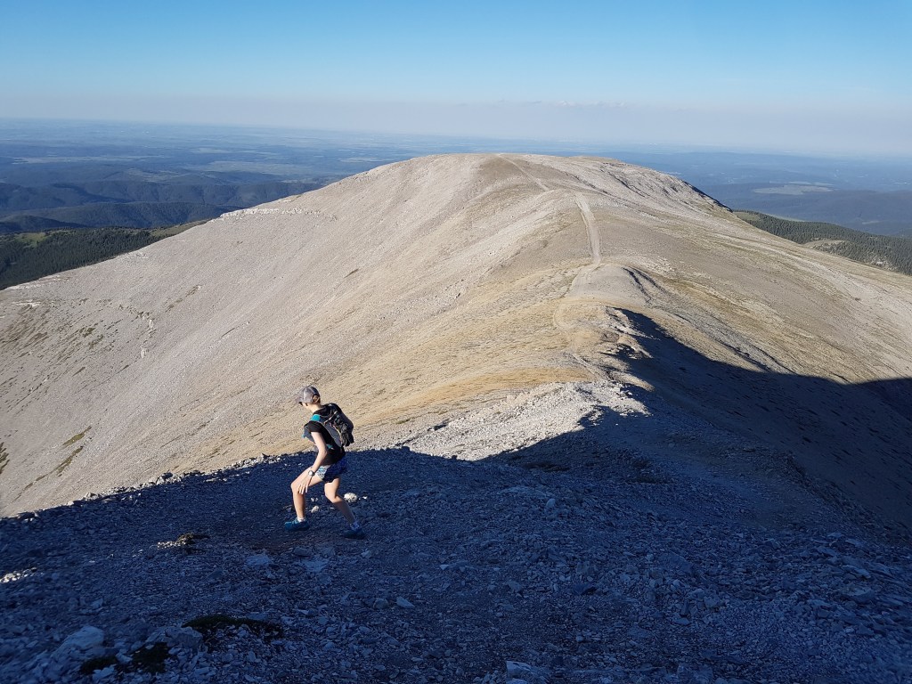
7. Prairie Mountain
This is a lovely hike near Bragg Creek, and you can see the entire city of Calgary from the summit on a clear day. This one sometimes can hold snow at higher elevations for longer than the other hikes, so wearing micro-spikes is reccomended. Parking is at Elbow Falls parking lots on Highway 66, 22 km west of Bragg Creek. The total distance is 6.4 km and around 650m of elevation gain, and takes between 3-4 hours to complete. I love the final, wide open ridge of this summit, which offers beautiful views of the Alberta prairies to the east, and the beautiful Rocky Mountains to the west.

8. Moose Mountain
This is another Bragg Creek hike, and the biggest crux is making sure the fire road to the trailhead is open, as it is often closed until mid-May or later. There is a 7 km dirt road that takes off from Highway 66 just after the Paddy’s Flat Campground. At 13.8 km round trip and 766m elevation gain, this trail takes around 3.5-5 hours to complete. It’s been about a year since I’ve hiked this, but I heard that the final part of the trail leading to the summit with a working Fire Lookout is now closed. However, there is a false summit with lovely views right before this part of the trail that is still worthwhile to do!
9. Mount Baldy
Heading back to Highway 40, Mount Baldy is often one of the first mountains in the front range to be free of snow. You can either hike up and down the North Summit, or link up a traverse from the North Summit to the South Summit to turn this scramble into a loop. I’ve only done the North Summit as the ridge in early season requires more scrambling and should be snow-free to be done safely. Parking is around 13 km south on Highway 40, and there is a small parking area near a stream. It is just 5 km round trip to the North Summit and 870 m of elevation, and trip time is around 3-4.5 hours.

10. Mount Yamnuska
I have a soft spot for this mountain as it is the first summit I did with my husband Ryan, and we had such a fun day out! This mountain is the beautiful mountain that you see as you drive from Calgary towards the mountains on highway 1 – well known for it’s amazing rock climbing on the impressive cliff face that catches the morning light. I suggest doing this as a counter-clockwise loop, although you can go up and down just the west side. Parking is at the Yamnuska parking lot 45 minutes west of Calgary on the 114 Seebe turnoff. The trail runs flat and when you hit a T-intersection, go right to do the counterclockwise route. The ascent has some fun scrambling, with one section that has a chain to help those who may be more nervous of the exposure on the ridge. The descent from the peak goes down the west side of the mountain and has a wonderfully fun scree-run that helps you lose your elevation very quickly. The route as described is 9.3 km and 878m in elevation, and takes 4-6 hours to complete.

Hope you find some of these reccomendations useful, enjoy the beautiful mountains, and stay safe! Be sure to do more research and check maps if you decided to do any of these hikes or scrambles 🙂
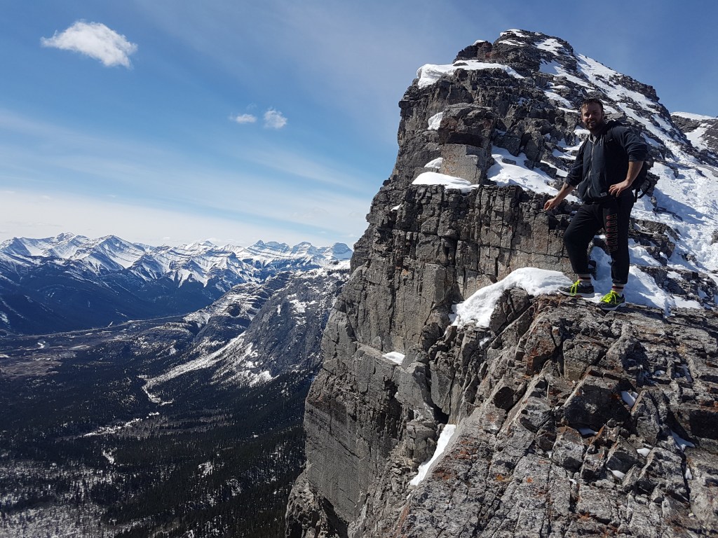
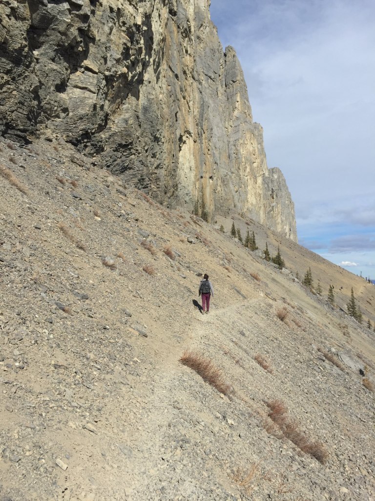
(All photos are from my trips! And many thanks to my friends and now-husband for putting up with me dragging them on so many hikes and being my models!)

Awesome photos! I still have a few of these to do when I finally make it back to the mountains. I loved Mt. Yamnuska!
LikeLiked by 1 person
Mount yamnuska is one of my all time favourites !
LikeLike